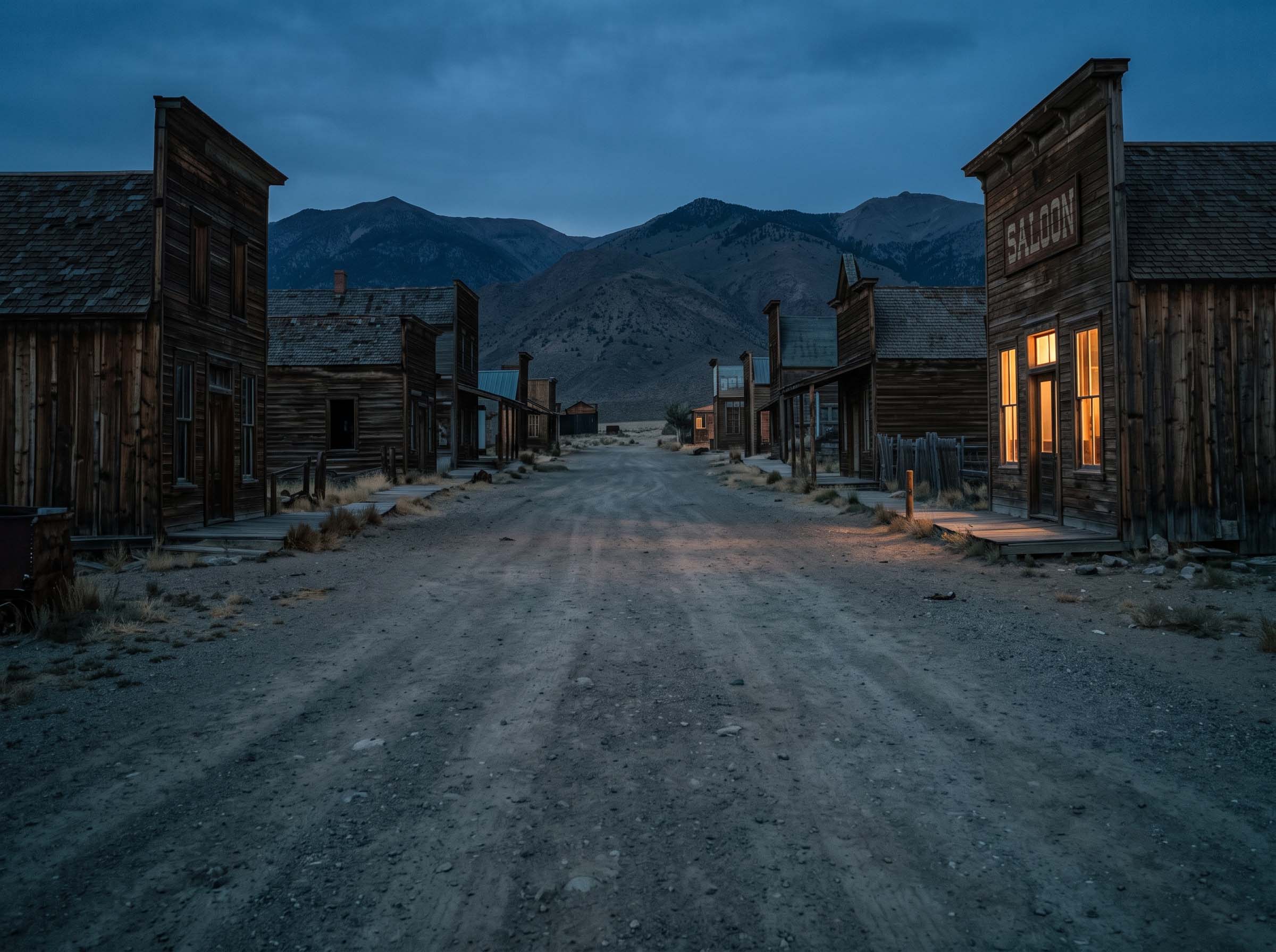
Ghost Towns
Walk main streets where the last footsteps faded a century ago — from Bodie's arrested decay to prairie towns the railroad forgot.
47 documented locationsREMOTE · FORGOTTEN · UNFORGETTABLE
Ghost towns swallowed by desert. Highways erased from maps. Relics that outlived their makers. Forbidden Ruins takes you where guidebooks won't.
38.2116° N, 118.7554° W — CHOOSE YOUR OBSESSION
Every site below is documented in the field: coordinates verified, access confirmed, story recovered.
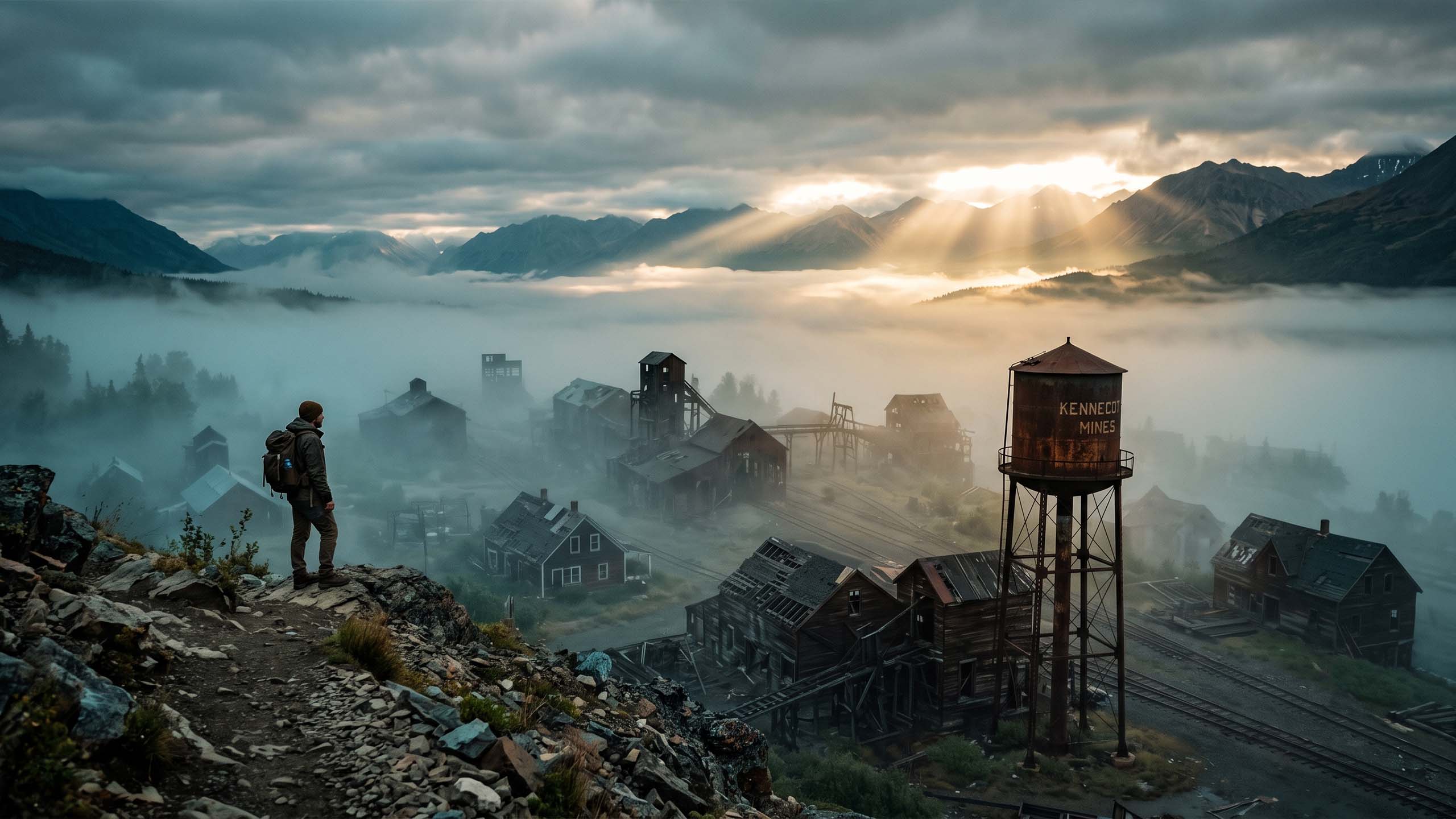
Walk main streets where the last footsteps faded a century ago — from Bodie's arrested decay to prairie towns the railroad forgot.
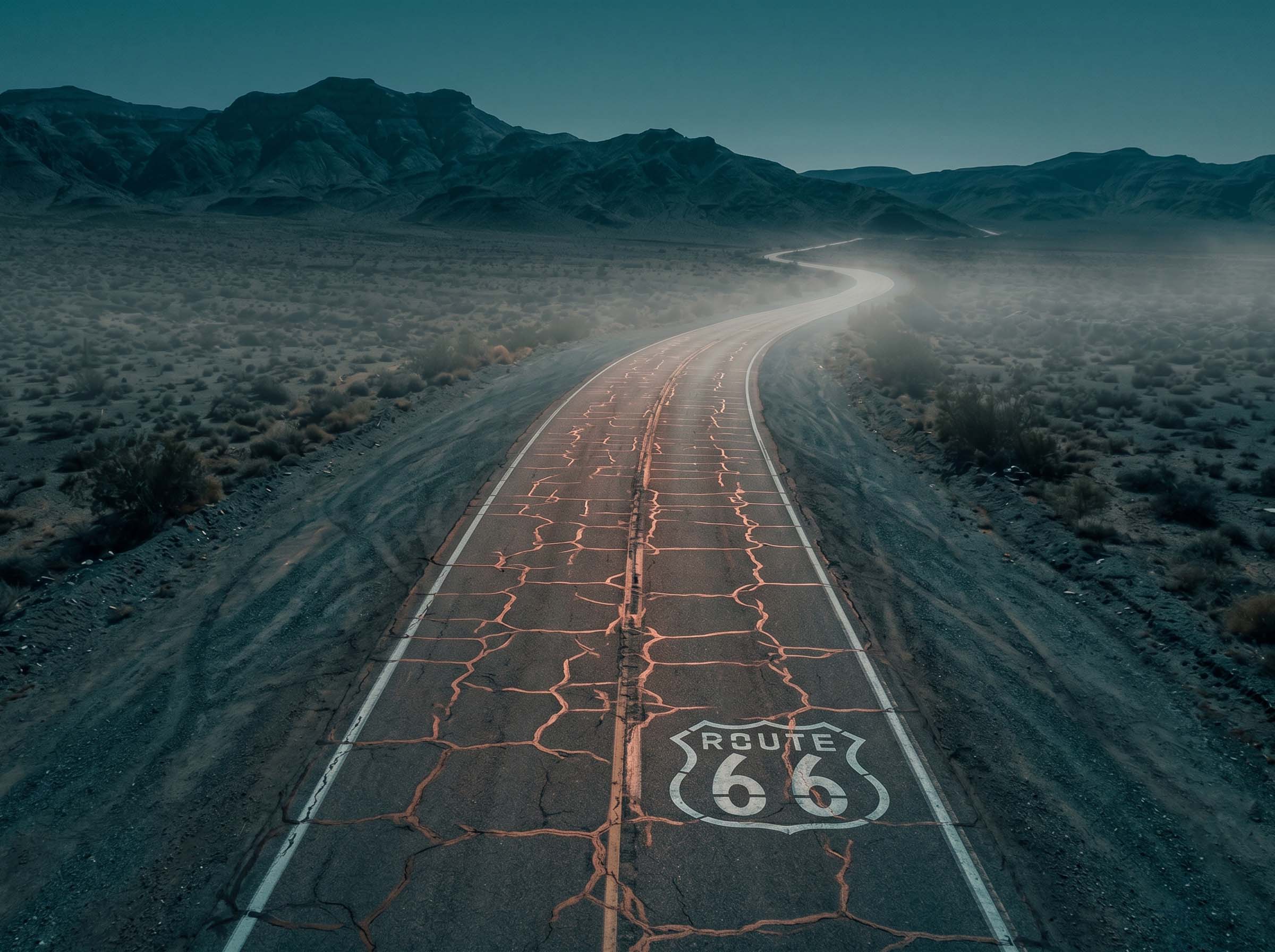
47 documented locationsTrace the cracked spines of roads that once carried dreams west — Route 66's orphaned alignments, bypassed byways, bridges to nowhere.
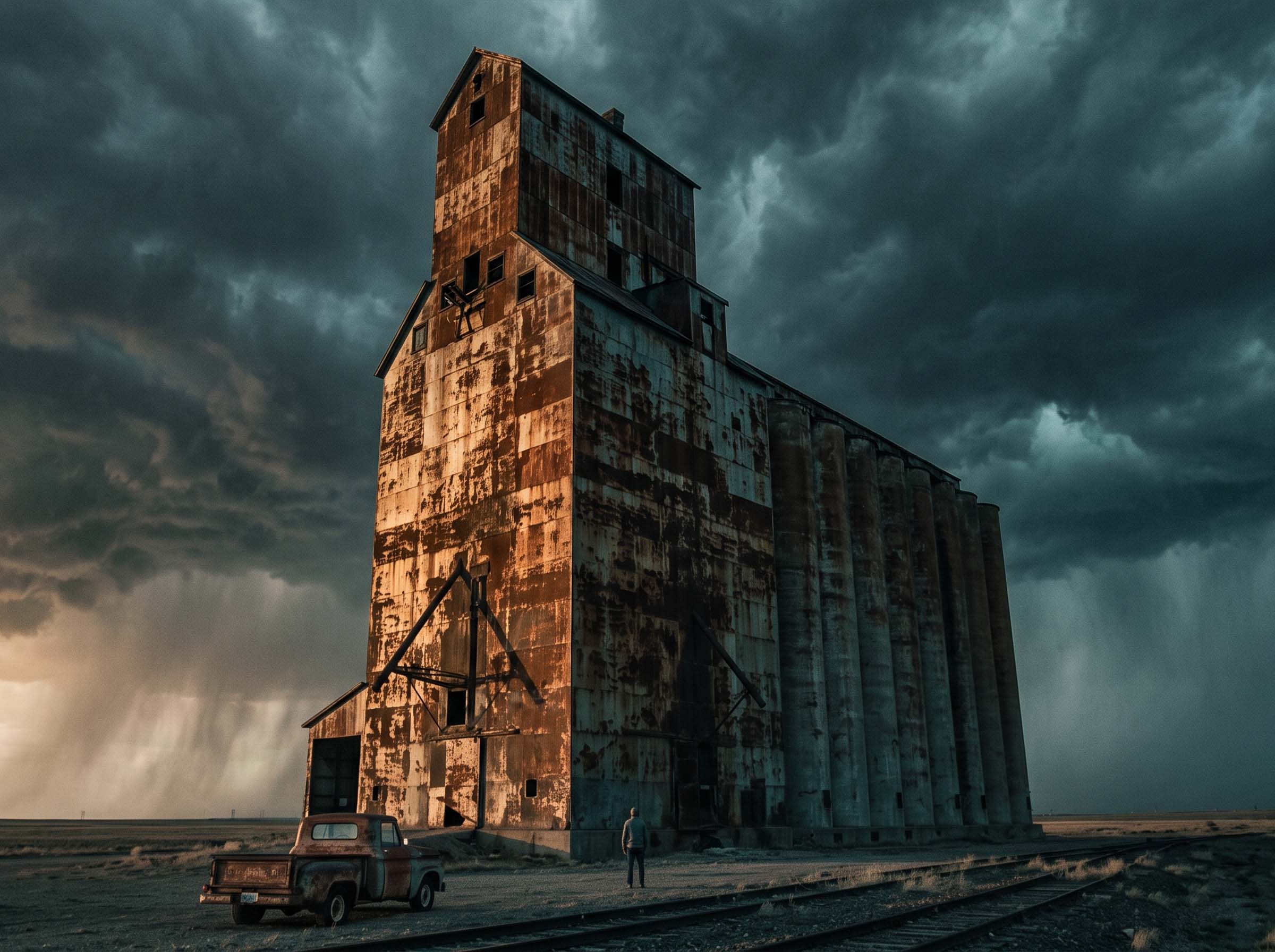
The road less traveled, literallyAbandoned grain elevators, rusting rail yards, drive-ins where the last picture show never ended. Machinery as monument.
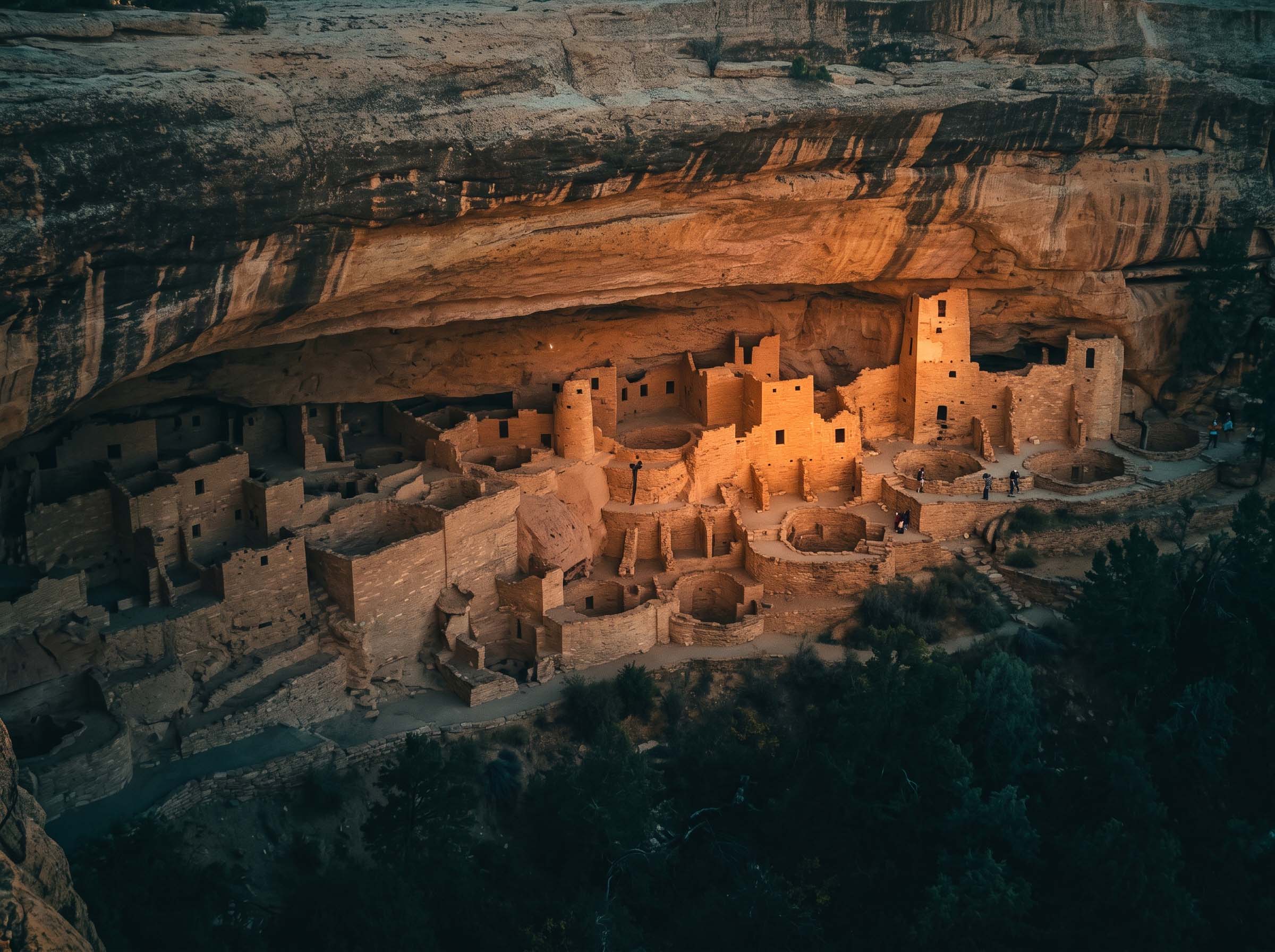
Photograph everything · take nothingCliff dwellings, petroglyph canyons, and stone circles older than memory — visited with respect and the required permits.
Deep time, up closeFROM THE FIELD ARCHIVE
Every frame captured by our expedition team and community explorers. Submit your own discovery to join the archive.
YOUR COMPASS TO THE FORGOTTEN
Our living Expedition Map plots every documented ruin with difficulty ratings, legal-access status, best photography hours, and nearby fuel — because the nearest gas station matters when you're 90 miles past nowhere. Preview the map or unlock full coordinates by joining free.
VOICES FROM THE ROAD
I've road-tripped for twenty years and never knew a town of 3,000 people could just… vanish. The access notes got me there legally and safely. Standing in that empty church at sunset changed how I see the West.
— Marcus T., photographer · Read his trip log
The Expedition Map paid for itself in one weekend. Three ghost towns, an abandoned rail tunnel, and the best photos I've ever taken — all within four hours of home.
— Priya S., weekend explorer · See her gallery
As a history teacher, this site is gold. My students planned an entire unit around one lost highway. The past isn't in textbooks — it's rusting at the end of a dirt road.
— Daniel R., educator · His classroom project
THE MAP IS WAITING
Join 12,000+ explorers who get our free weekly dispatch: a newly documented site with coordinates, access notes, the story of how it died — and how to see it before it's gone forever.
Free forever. Unsubscribe anytime. Your coordinates stay secret with us. Read our privacy promise.
WHY WE DO THIS
Forbidden Ruins began in 2019 with a pickup truck, a paper map, and one question: what happened to all the places America left behind? Since then our team has documented over 200 ghost towns, lost highways, and forgotten relics — always with permission, always leaving sites exactly as we found them.
SIGNAL US FROM THE FIELD
Know a ruin we haven't mapped? Want to license our photography, plan a group expedition, or feature us in your publication? The line is open.